
|
Only have a minute? Listen instead |
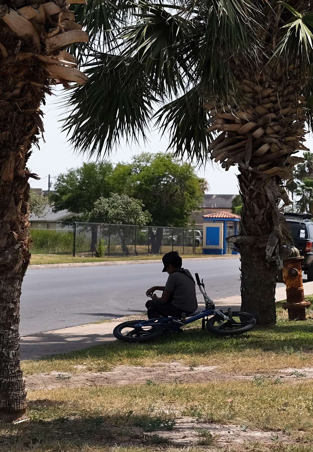
Hot on the heels of the extreme rainfall that swamped much of the region early this week comes extreme heat, now that the low-pressure system partly responsible for all that rain has departed.
The National Weather Service Brownsville/Rio Grande Valley office has issued a Heat Advisory from 1-8 p.m. Wednesday for all of the Valley and Kenedy County, and said dangerous, potentially life-threatening heat is likely Thursday and potentially into Friday.
On Wednesday afternoon, an Extreme Heat Watch was issued for 1-8 p.m. Thursday for Zapata, Jim Hogg, Brooks, Starr and Hidalgo counties, and inland to coastal portions of Kenedy, Willacy and Cameron counties excluding Padre Island/South Padre Island. The watch will up upgraded to an Extreme Heat Warning by Wednesday night, according to the NWS.
An Extreme Heat Warning is triggered by anticipated heat indexes of at least 116 for two hours or more.
“Overnight swelter tonight through Friday night will make it impossible to keep cool without air conditioning,” the NWS said Wednesday.
The hot atmosphere in the wake of the low, combined with “available low-level moisture” from the rain causing high daytime humidity, and increasing winds out of the south will keep overnight temperatures abnormally high and result in “increasingly dangerous heat to the region for persons unprepared,” according to meteorologists.
The heat index, or how hot it feels to the human body, was forecast to surge to 110-114 degrees Wednesday, 119-125 on Thursday, and 112-118 degrees Friday. Heat index, sometimes called “apparent temperature,” is calculated by combining relatively humidity with actual air temperature. A Heat Advisory is issued when a heat index of 111 degrees or higher for at least two hours is expected.
“More critically, overnight feels-like temperatures will remain well into the 90s for population centers of the Valley: Brownsville-Harlingen, the Interstate 2 corridor between Harlingen and Mission, Edinburg and Roma/Rio Grande City,” the NWS said.
This scenario is dangerous for vulnerable populations — residents without access to air conditioning — since the accumulation of “total heat” can trigger heat exhaustion and heat stroke, meteorologists said.
“Heat Risk … is currently forecast to be moderate to major through this period, but it is likely that urban areas may rise to extreme Thursday and perhaps Friday,” according to the NWS. “It is strongly encouraged that communities or organizations with the means to do so open cooling centers through the day and night during this critical heat period.”
Meteorologists predicted temperatures would fall into the 90s overnight Wednesday (80-85 in rural areas). On Thursday, dangerous heat indexes during the afternoon will give way to “feels-like” temperatures between 93 and 98 by daybreak Friday in urban areas, 80s elsewhere, forecasters said.
La Joya is forecast to top the Valley’s heat indexes Thursday with a 126-degree feels-like temperature. Rio Grande City, McAllen and Sarita are expected to see 124 Thursday, Raymondville and Harlingen 123 degrees, and Brownsville 121. A heat index of 113 is predicted for Port Isabel.
“Should this verify, it would be the hottest feeling day area-wide since June 2023,” the NWS said.
On Friday, heat indexes of 112-118 degrees are expected to fall to between 93 and 98 by sunrise Saturday in urban areas and 80s elsewhere, according to meteorologists, who said to expect a combination of Extreme Heat Warnings and Heat Advisories.